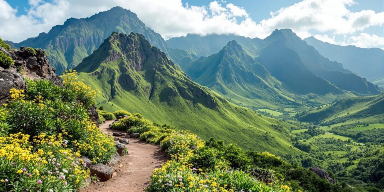
For a small island, Mauritius has a surprising number of mountains. They’re the remains of ancient volcanoes, worn down into dramatic ridges and pinnacles, and they’re never far from the sea. None of them is very high, but several make excellent half-day hikes with views across the whole island.
Here are the four peaks most visitors ask about: the three highest, plus Le Morne Brabant, the most famous of all.
The main mountains at a glance
| Mountain | Height | Area | Hike |
|---|---|---|---|
| Black River Peak (Piton de la Petite Rivière Noire) | 828 m | South-west, Black River Gorges | Easy to moderate, about 2 to 3 hours return |
| Pieter Both | 820 m | Moka Range, near Port Louis | Difficult, technical climb with a guide |
| Le Pouce | 812 m | Moka Range, near Port Louis | Moderate, about 2 to 3 hours return |
| Le Morne Brabant | 556 m | South-west tip | Moderate, steep finish, about 3 to 4 hours return |
Black River Peak (828 m)
Piton de la Petite Rivière Noire, better known in English as Black River Peak, is the highest point in Mauritius. It rises above the Black River Gorges National Park in the south-west, and from the top you can see Le Morne, the west coast lagoons and much of the central plateau.
Because the usual trail starts high up on the Plaine Champagne road, it’s the easiest of the big summits. Expect a steady walk through forest and along a ridge, with a steeper, rockier section near the top. Most people take two to three hours there and back. The path can be slippery after rain, so it’s worth giving it a day or two to dry out. Hiking in the national park is free.
Pieter Both (820 m)
Pieter Both is the island’s second-highest mountain and its most unmistakable: a narrow rocky spire topped by a large balancing boulder, clearly visible from Port Louis and the Moka area. It’s named after Pieter Both, the first Governor-General of the Dutch East Indies, who drowned when his fleet was wrecked off Mauritius in a cyclone in 1615.
This is not a walk. The final section to the summit is a proper rock climb, and reaching the top of the boulder requires ropes and climbing experience. Only attempt it with an experienced local guide who provides the equipment. The usual approach starts near the village of La Laura in the Moka district.
Le Pouce (812 m)
Le Pouce, “the thumb”, is named after the thumb-shaped rock at its summit. It’s the third-highest mountain in Mauritius and probably the most rewarding first hike on the island. Charles Darwin climbed it in 1836 during the voyage of the Beagle.
The most popular route starts on the Moka side and takes around two to three hours return. Most of it is an easy path through forest and grassland, but the last stretch to the summit is steep and needs a bit of scrambling, so take care if you’re not comfortable with heights or if it’s wet. From the top you look straight down on Port Louis and across to Pieter Both.
Le Morne Brabant (556 m)
Le Morne Brabant isn’t one of the highest mountains, but it’s the most famous. This basalt block on the south-western tip of the island became a UNESCO World Heritage Site in 2008. In the 18th and early 19th centuries, escaped enslaved people, known as maroons, hid in its caves and on its cliffs.
Local oral tradition tells of a group of maroons who threw themselves from the cliffs rather than be recaptured, not knowing that the soldiers had come to tell them slavery had been abolished. Whatever the exact history, the mountain has become a powerful symbol of resistance and freedom. The International Slave Route Monument stands at its foot, and the abolition of slavery is commemorated here every year on 1 February, a public holiday in Mauritius.
The hike is about 7 km return with around 500 m of climbing and takes three to four hours. The lower part follows a clear path, while the final section is a steep rocky scramble. Rules for access to the top have changed over the years, so check the current situation locally. Most visitors go with a guide, and you should avoid the upper section after heavy rain. The views over the lagoon are some of the best on the island.
Other mountains worth knowing
- Lion Mountain (Montagne du Lion): near Mahébourg in the south-east, named for its resemblance to a crouching lion. The ridge walk has great views over the bay of Grand Port and the south-east lagoon.
- Corps de Garde: a dramatic ridge above Quatre Bornes and Rose-Hill with wide views of the west coast.
- Trois Mamelles: the three rocky peaks that dominate the view inland from Tamarin and the west coast.
When to go
The best months for hiking are May to November. It’s cooler and drier, and you’re less likely to find the summits in cloud. From December to April it’s hot and humid, heavy afternoon showers are common, and cyclones can bring days of strong wind and rain, mainly between January and March.
Whatever the season, start early. Mornings are cooler and clearer, and clouds often build up over the mountains by midday.
What to bring
- Shoes with good grip. Trails are often rocky, rooty and slippery after rain.
- At least 1.5 to 2 litres of water per person. There’s no water on the trails.
- Sun cream, a hat and sunglasses. Summits are exposed.
- A light rain jacket. The weather changes quickly in the hills.
- Your phone with an offline map, and a charged battery.
Guided or independent?
You can do Black River Peak and most of Le Pouce on your own if you’re used to hiking. For Le Morne Brabant a guide is a good idea, both for the final section and for the history. For Pieter Both, a guide with climbing equipment is essential. Guides also take care of transport to the trailhead, which isn’t always easy to reach without a car.